NNAS Gold Training Course
Sedbergh, Howgill Fells
21 & 22 February 2015
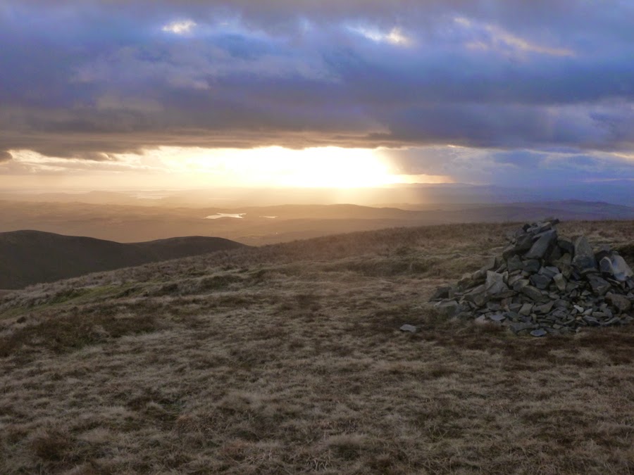
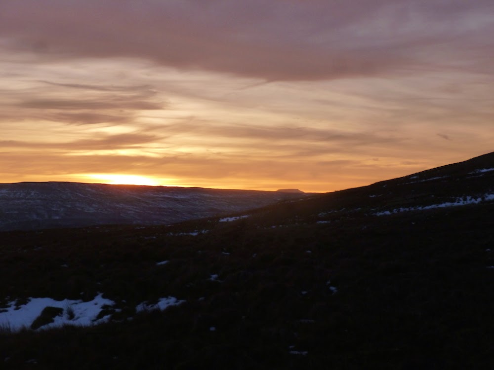
Saturday was a superb day, but bitingly cold with a windchill of minus 8C, as we headed up onto Arant Haw (605m) via Soolbank and Crook, then on up to reach Calders (674m) at sunset. We then navigated off in the dark via Ashbeck Gill.
Sunday was a different story, with heavy driving snow so we had a change of plan and retreated to the warmth of the Dalesman pub at Sedbergh early
TeamWalking Website
Sunday, February 22, 2015
Monday, February 09, 2015
NNAS Straight to Silver nav skills course
NNAS Straight to Silver navigation skills course
6 - 8 February 2015
Buckden, Upper Wharfedale
3 great days of cold frosty nights and crystal clear days in Upper Wharfedale, based at Buckden. 6 participants, and all 6 are now proud NNAS Silver award holders!
Day One: Key skills - map, compass, route planning, weather, kit, navigation strategies. Route; Buckden, Dales Way, Starbotton, Walden Road, Buckden Lead Mine.
Day Two: Upland skills - bearings, pacing, terrain, timings, contours, night navigation (poor visibility). Route: Buckden Rake, Keld, Chapel Moor, Scar House and Hubberholme
Day Three: Consolidation - each person navigated a 1 - 2 km leg across the moors of Stake Moss to find ponds, shake holes, enclosures and Iron Age settlements.
Navigation Skills website
Tuesday, February 03, 2015
Winter Walking - Crinkle Crags
Crinkle Crags
February 2015
Lake District, winter walking for 2 days with my friend and colleague Graeme Tiffany.
Monday 2nd February - Walked the classic Crinkle Crags route from Great Langdale. Overcast to begin with, but very cold although winds lighter than yesterday. Hazy snow broke through late afternoon. Windchill of -10C on the tops, and our water bottles began to freeze.
Route: ODG, Oxendale, Red Tarn, Great Knott, Crinkle Crags, Three Tarns and The Band.
Lots of ice on all paths at all levels, making it treacherous in places. Snow depth very variable because of the wind, with deep drifts in sheltered spots, but mostly ice on the summit crags.
Again, superb visibility with the Isle of Man and most of the Lake District visible. The snow on the Scafell Massif contrasting with the dark crags made it look like a Wainwright drawing.
Subscribe to:
Comments (Atom)


