NNAS Gold Training course
Howgill Fells
March 2015
A weekend of understanding contours, landform interpretation, ground to map and map to ground compass bearings, accurate distance (to the metre) and fall lines (slope aspect).
Why? To navigate efficiently, effectively and accurately across complex terrain, open hills and through poor visibility.
Why? To enhance our enjoyment of the hills and open the door to a world of adventurous exploration...
NNAS Courses website
Thursday, March 12, 2015
Map Reading course, Malham
1-day Map Reading course
Malham, Yorkshire Dales
11th March 2015
Our 1-day Map Reading courses are always popular, and will set you on the right path to many years of happy navigating! We cover weather, route planning, kit, map skills, navigation strategies plus much more.
More details...
Malham, Yorkshire Dales
11th March 2015
Our 1-day Map Reading courses are always popular, and will set you on the right path to many years of happy navigating! We cover weather, route planning, kit, map skills, navigation strategies plus much more.
More details...
Sunday, February 22, 2015
NNAS Gold Training course
NNAS Gold Training Course
Sedbergh, Howgill Fells
21 & 22 February 2015
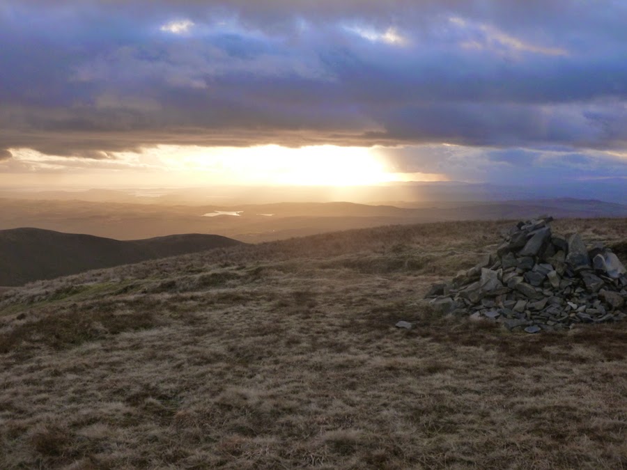
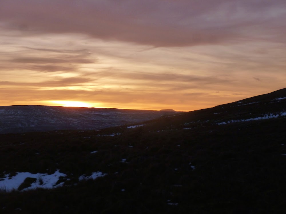
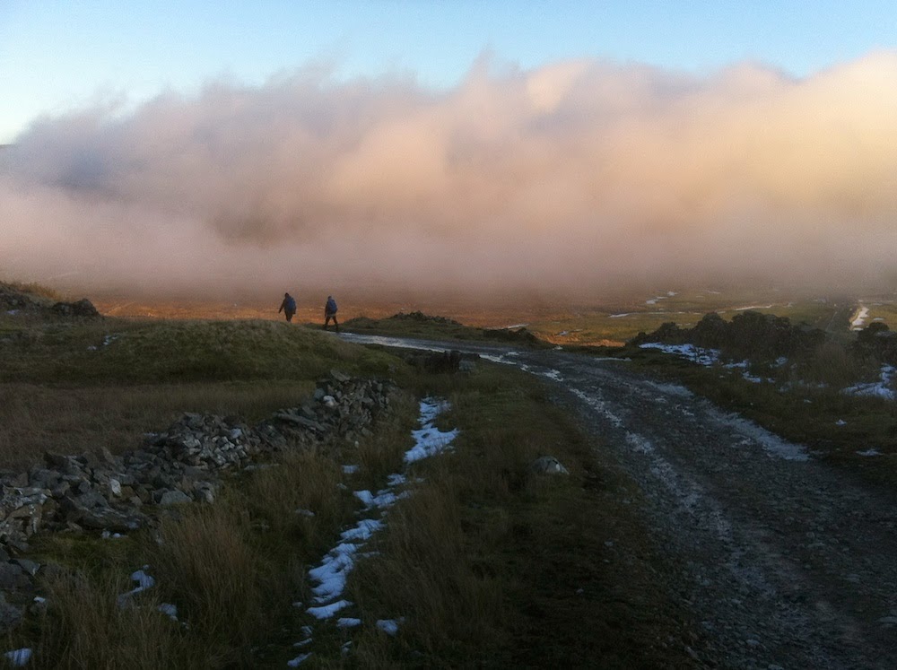
Saturday was a superb day, but bitingly cold with a windchill of minus 8C, as we headed up onto Arant Haw (605m) via Soolbank and Crook, then on up to reach Calders (674m) at sunset. We then navigated off in the dark via Ashbeck Gill.
Sunday was a different story, with heavy driving snow so we had a change of plan and retreated to the warmth of the Dalesman pub at Sedbergh early
TeamWalking Website
Sedbergh, Howgill Fells
21 & 22 February 2015
Saturday was a superb day, but bitingly cold with a windchill of minus 8C, as we headed up onto Arant Haw (605m) via Soolbank and Crook, then on up to reach Calders (674m) at sunset. We then navigated off in the dark via Ashbeck Gill.
Sunday was a different story, with heavy driving snow so we had a change of plan and retreated to the warmth of the Dalesman pub at Sedbergh early
TeamWalking Website
Monday, February 09, 2015
NNAS Straight to Silver nav skills course
NNAS Straight to Silver navigation skills course
6 - 8 February 2015
Buckden, Upper Wharfedale
3 great days of cold frosty nights and crystal clear days in Upper Wharfedale, based at Buckden. 6 participants, and all 6 are now proud NNAS Silver award holders!
Day One: Key skills - map, compass, route planning, weather, kit, navigation strategies. Route; Buckden, Dales Way, Starbotton, Walden Road, Buckden Lead Mine.
Day Two: Upland skills - bearings, pacing, terrain, timings, contours, night navigation (poor visibility). Route: Buckden Rake, Keld, Chapel Moor, Scar House and Hubberholme
Day Three: Consolidation - each person navigated a 1 - 2 km leg across the moors of Stake Moss to find ponds, shake holes, enclosures and Iron Age settlements.
Navigation Skills website
6 - 8 February 2015
Buckden, Upper Wharfedale
3 great days of cold frosty nights and crystal clear days in Upper Wharfedale, based at Buckden. 6 participants, and all 6 are now proud NNAS Silver award holders!
Day One: Key skills - map, compass, route planning, weather, kit, navigation strategies. Route; Buckden, Dales Way, Starbotton, Walden Road, Buckden Lead Mine.
Day Two: Upland skills - bearings, pacing, terrain, timings, contours, night navigation (poor visibility). Route: Buckden Rake, Keld, Chapel Moor, Scar House and Hubberholme
Day Three: Consolidation - each person navigated a 1 - 2 km leg across the moors of Stake Moss to find ponds, shake holes, enclosures and Iron Age settlements.
Navigation Skills website
Subscribe to:
Posts (Atom)