NNAS Silver navigation skills course
Grinton, Swaledale, Yorkshire Dales
December 2017
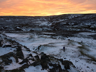
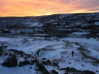
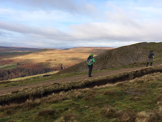
3 days hillwalking around Grinton, taking in Grinton Moor, Harkerside Moor, High Harker Hill and Fremington Edge, with some stunning sunsets!
Navigation Skills website
Monday, December 04, 2017
Friday, December 01, 2017
Cleasby Hill, Hoove & Peat Moor Hill
Cleasby Hill (511m), Hoove (553m) & Peat Moor Hill (522m)
Arkengarthdale, Yorkshire Dales
2-day NNAS Gold Training course, based at the Bridge Inn last Grinton.
We explored the remote and lonely moorland fells of Cleasby Hill, Hoove and Peat Moor Hill, high above Arkengarthdale in the northern Yorkshire Dales.
We started from Whaw, and headed up onto Cleasby Hill, which doesn't have much going for it apart from far-reaching views; it is a gently rising domed hill covered in heather and bog. We then descended into the nearby ravine of Faggergill, scarred by disused lead mines where there is also an excellent shooters' hut. From Faggergill, we headed up to reach the Fryingpan Stone (outcrop of rock), then on passing the little-visited Hoove Tarn (marshy bog) before reaching the Trig Point on Hoove at sunset. We then navigated off in the dark back to Whaw.
Day two, and we went to Langthwaite, then headed up onto Peat Moor Hill and navigated to various locations (Windegg Vein, Stony Poping, New Dam etc) before heading back down.
Another two great days in the Yorkshire Dales...
NAVIGATION SKILLS WEBSITE
Saturday, November 04, 2017
Calf Top (610m)
Calf Top (610m)
See photos from my recent walk up onto Calf Top from Barbon, one of the Yorkshire Dales 600s
http://yorkshiredales600s.blogspot.co.uk/2017/11/calf-top-610m.html
See photos from my recent walk up onto Calf Top from Barbon, one of the Yorkshire Dales 600s
http://yorkshiredales600s.blogspot.co.uk/2017/11/calf-top-610m.html
Thursday, October 12, 2017
Boots and Beer Walking Weekender
Boots & Beer Walking Weekender
Nether Wasdale, Lake District
October 2017
WEBSITE
A wonderful weekend in Wasdale!
31 people joined Mark Reid, Richard Tarran and Graeme Tiffany (guides) for a weekend of wet, wild and windy walks, pub quizzes and great beer at the Strands Inn.
There was choice of walks ranging from Illgill Head and Whin Rigg, to Wast Water shoreline and Seatallan.
Subscribe to:
Comments (Atom)


